I have tried to display a track in Google Earth. However, I have two problems:
the KML is not accepted by Google Earth (with the error message: unsupported elements gx:Track)
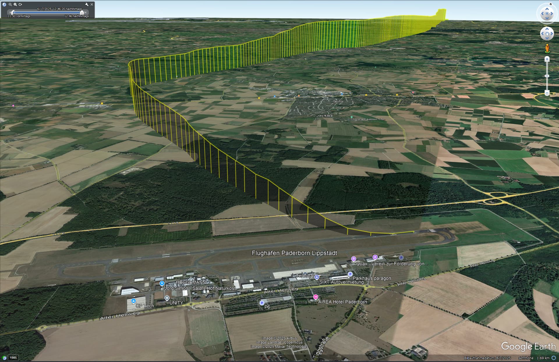
when I view the KML or GPX in another tool (e.g. maps3d.io), I only see the track “flat” on the surface. However, I would like to display it as an elevation profile.
Am I doing something wrong? Can someone give me a tip on how to achieve the desired display?
Which version of Google Earth are you using? I have a (presumably) older version of Google Earth Pro on a Windows PC and regularly use the KML export. So far without any problems.