Hello,
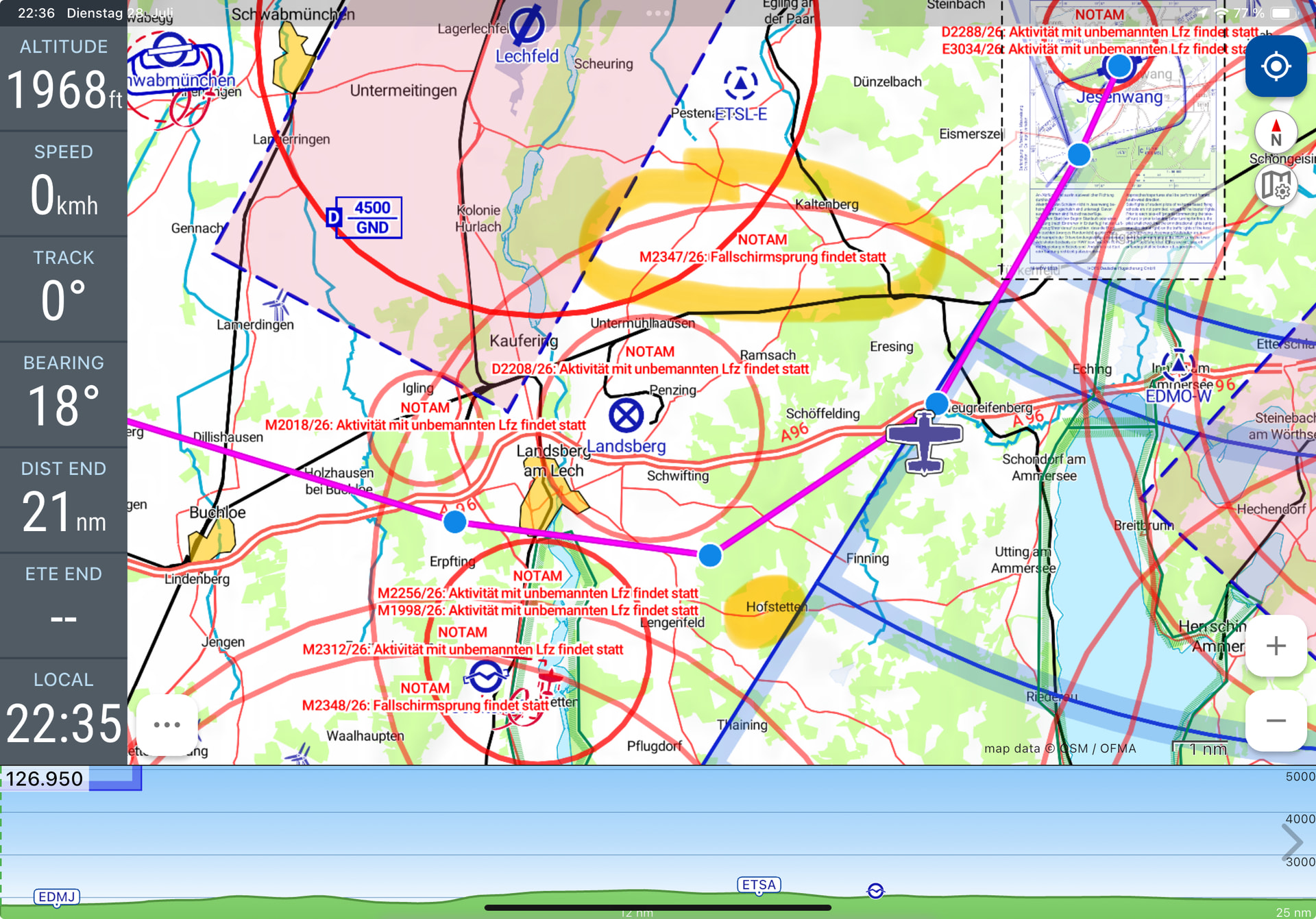
I had a NOTAM today on my route “Parachute jump taking place”. It only showed the overall area (7 NM).
From 3 NM around PSN, however, you were already allowed to fly up to 6000 ft.
How can I display the altitude layers?
Thanks and best regards
Markus