VFRnav 4.22 introduces powerful new planning tools that improve terrain awareness and airport reconnaissance directly within the map.
 What’s New
-
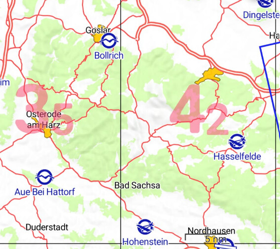
New: Maximum Elevation Figures (MEF) can now be displayed directly on the map, providing a quick overview and valuable support during flight planning.
Each MEF refers to an area of 30 minutes latitude by 30 minutes longitude and is shown in the center of its cell.
The first digit represents thousands of feet, while the smaller second digit represents hundreds of feet, both referenced to MSL.
The MEF is determined by either the highest terrain elevation or the highest obstacle within that area — including the required safety margin. The MEF can be activated via Map Settings Button
-
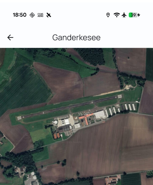
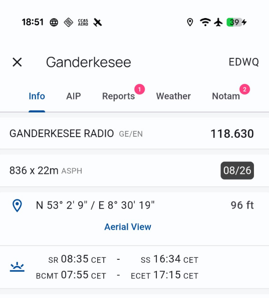
New: The satellite view now allows you to quickly and reliably inspect any airfield from an aerial perspective, making it easier to identify runways, surroundings, and terrain features.
-
Version 4.22.1 fixes some missing AIP links (German DFS)
As always, we welcome your feedback and ideas — feel free to reach out by email or right here in the forum.
Blue skies and safe flying! ![]()