Hello everyone,
The aerobatic box Drochtersen / Lower Saxony, which no longer exists, is still being shown on the map.
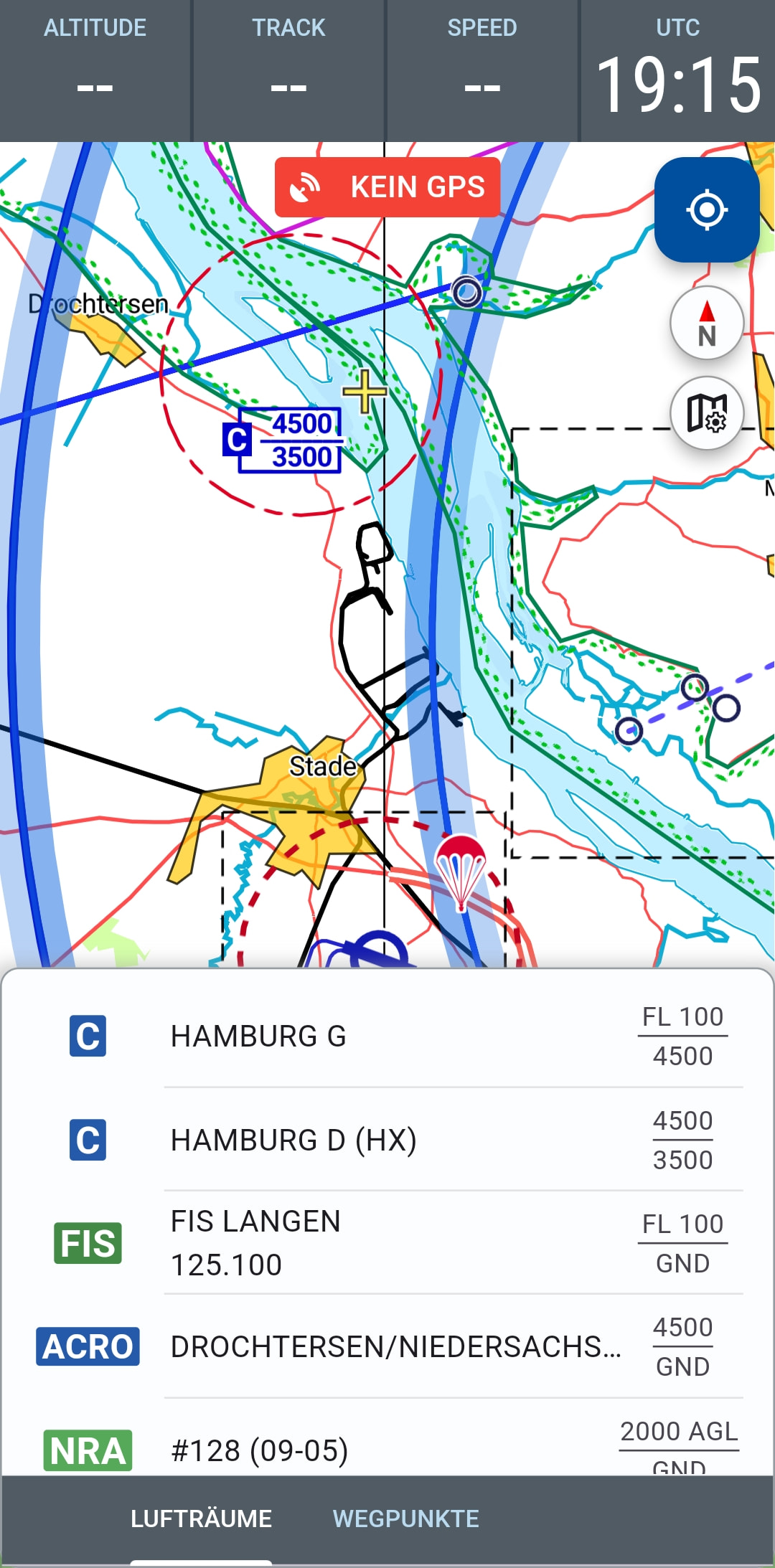
The new box Uetersen / Schleswig-Holstein is missing instead.
See: AIP IFR ENR 5.5-7
Slightly off-topic: How is the display actually generated? The basis is OpenStreetMap and openFlightMap, right? I couldn’t find the aforementioned aerobatic box in those directly. Is there another database running in the background?
Best regards,
Dirk